Introduction
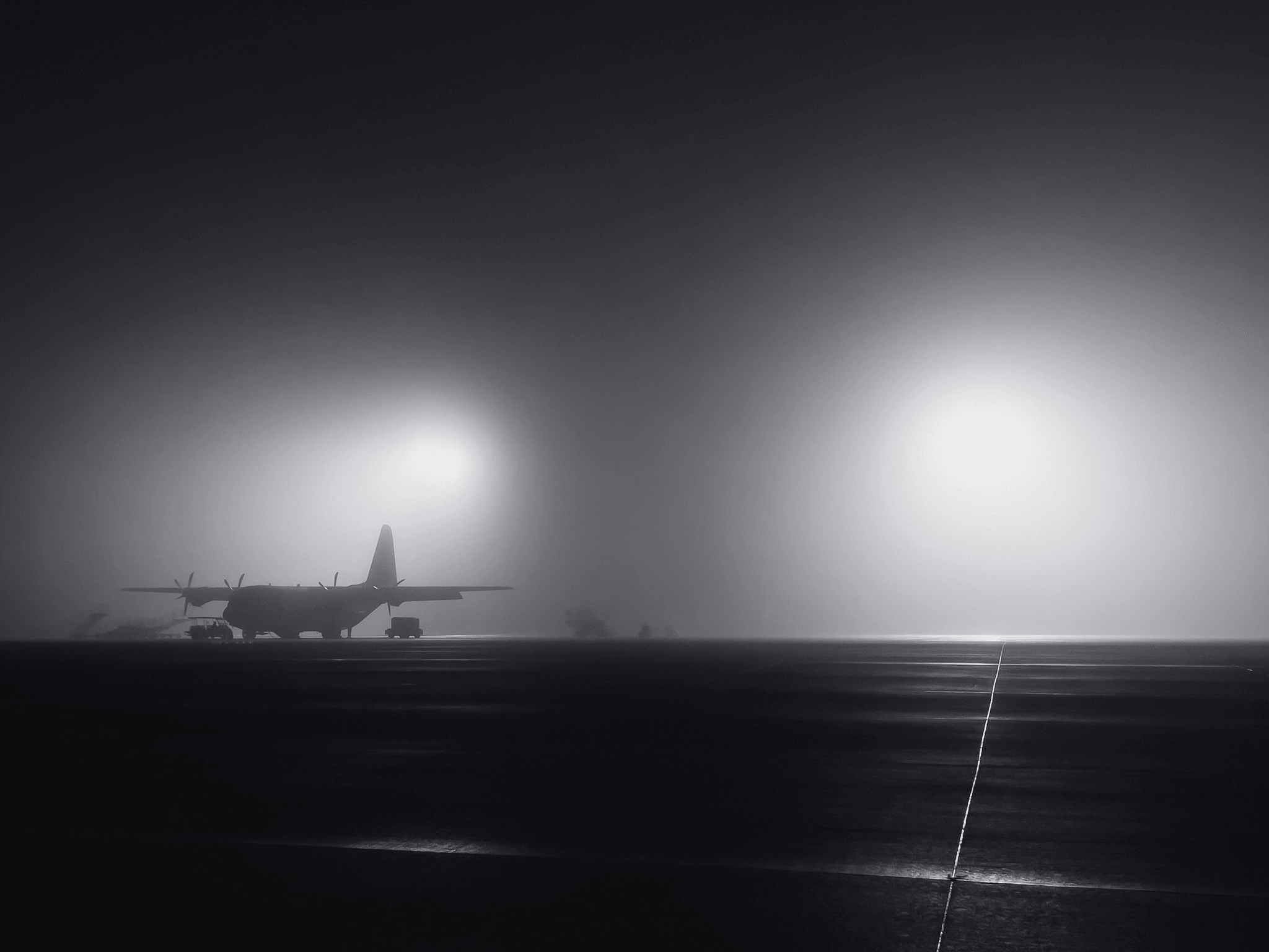
Runway Visual Range (RVR) is a critical concept in aviation that directly impacts flight safety and operational efficiency. Understanding RVR in aviation is essential for pilots, air traffic controllers, and airport operators alike, as it serves as a key indicator of visibility on the runway. With fluctuating weather conditions and varying lighting environments, assessing airport runway visual range becomes paramount to ensure safe landings and takeoffs.
Understanding RVR in Aviation
At its core, RVR represents the distance over which a pilot can see the runway surface markings or lights from the cockpit during landing or takeoff. It is measured using specialized equipment that takes into account various atmospheric factors affecting visibility. Knowing what RVR is in aviation not only aids pilots in making informed decisions but also helps air traffic control manage operations more effectively during low-visibility conditions.
Importance of Runway Visual Range
The importance of RVR cannot be overstated; it plays a vital role in ensuring safety during flight operations, particularly under adverse weather conditions such as fog, rain, or snow. Accurate RVR readings help pilots determine if they can safely land or take off from an airport without risking their aircraft's safety. Additionally, understanding how to calculate RVR in aviation allows for better planning and coordination among all stakeholders involved.
Key Factors Affecting RVR
Several key factors influence RVR readings, including weather conditions like precipitation and wind patterns, as well as environmental elements such as light intensity and atmospheric clarity. The technology used for assessing airport runway visual range also plays a significant role; advancements have led to more precise measurements than ever before. By recognizing these factors, aviation professionals can better interpret data related to runway visual range (RVR in METAR) reports and make timely decisions that enhance safety.
What is the RVR in Aviation?

Runway Visual Range, commonly known as RVR in aviation, is a crucial metric that determines how far a pilot can see down the runway. It is essential for safe takeoffs and landings, especially during low visibility conditions such as fog, rain, or snow. Understanding RVR allows pilots and air traffic controllers to make informed decisions regarding flight operations.
Definition of Runway Visual Range
RVR in aviation refers to the distance over which a pilot can see the runway surface markings or lights from the cockpit of an aircraft. This measurement is vital for assessing whether conditions are suitable for landing or takeoff. Essentially, RVR provides a standardized way to quantify visibility on the runway, ensuring safety and efficiency in flight operations.
How RVR Is Measured
Measuring RVR involves sophisticated technology and methodologies designed to accurately assess visibility conditions at airports. Typically, it is measured using specialized equipment like laser systems that analyze light transmission through the atmosphere. By calculating how much light is scattered or absorbed by particles in the air, these systems provide accurate readings of how far a pilot can see runway lights and markings.
Significance of RVR in Flight Operations
The significance of RVR in flight operations cannot be overstated; it directly influences decision-making for pilots and air traffic control personnel alike. When assessing airport runway visual range, low RVR values may lead to delays or diversions due to unsafe landing conditions. Moreover, understanding how to calculate RVR in aviation helps ensure that all parties involved maintain high safety standards while navigating challenging weather situations.
Assessing Airport Runway Visual Range

Assessing Airport Runway Visual Range (RVR) is crucial for ensuring safe flight operations, especially during adverse weather conditions. RVR provides pilots with essential information about how far they can see along the runway, which directly impacts their landing and takeoff decisions. Understanding the factors that influence RVR readings, the role of weather conditions, and the technology used for assessment can significantly enhance aviation safety.
Factors Influencing RVR Readings
Several factors influence RVR readings in aviation, making it a complex measurement to assess accurately. For starters, atmospheric conditions such as fog, rain, or snow can dramatically reduce visibility and therefore affect RVR values. Additionally, the presence of smoke or dust particles in the air can scatter light and further decrease visibility on the runway.
Another critical factor is the angle at which pilots view runway lights; this perspective can alter their perception of visibility distance. The intensity of runway lighting also plays a vital role; brighter lights may extend perceived visibility even when actual atmospheric conditions are poor. Lastly, variations in human eyesight among pilots can lead to different interpretations of what constitutes acceptable RVR levels during landing or takeoff.
Role of Weather Conditions
Weather conditions are perhaps the most significant determinants when assessing RVR in aviation operations. Low-visibility scenarios often arise from dense fog or heavy precipitation, drastically reducing a pilot's ability to see runway markings and lights clearly. For instance, during foggy conditions with low clouds hanging over an airport, RVR may drop below minimum safety thresholds required for certain types of landings.
Moreover, wind patterns can also contribute to changing visibility; gusty winds may stir up dust or snowflakes that obscure visual references on runways. Understanding these weather-related influences allows airport operators and pilots to make informed decisions regarding flight operations under various meteorological circumstances. Thus, keeping a close eye on weather forecasts is essential for accurate assessments of Runway Visual Range (RVR in METAR).
Use of Technology in RVR Assessment
The advancement of technology has revolutionized how we assess Runway Visual Range (RVR) in aviation today. Automated systems like Haisen's BHP01 Transmission RVR Measurement Equipment employ high-sensitivity laser technology that measures transmission attenuation through the atmosphere effectively. This system calculates how far pilots can see runway signs by factoring in both atmospheric brightness and runway light intensity.
Additionally, these systems operate based on ICAO standard algorithms to ensure accuracy across different airports worldwide. By integrating such advanced tools into their operations, airports can provide real-time updates on RVR readings to enhance safety protocols for incoming flights. The combination of precise measurements and timely data dissemination exemplifies how technology plays a pivotal role in ensuring safe aviation practices.
How to Calculate RVR in Aviation?
Calculating Runway Visual Range (RVR) in aviation is crucial for ensuring safe flight operations, especially during low visibility conditions. RVR quantifies how far a pilot can see down the runway, providing essential data for takeoffs and landings. Understanding how to calculate RVR is key for pilots, air traffic controllers, and airport operators alike.
Steps for Calculating RVR
To calculate RVR in aviation, start by gathering visibility data from various sources, such as weather stations or on-site observations. Next, utilize the ICAO standard algorithm that considers factors like atmospheric conditions and light intensity from runway lighting systems. Finally, input this data into your chosen measurement equipment to generate an accurate RVR reading that reflects current conditions.
Tools and Equipment Needed
Calculating RVR requires specialized tools and equipment designed for precise measurements under varying environmental conditions. The Haisen BHP01 Transmission RVR Measurement Equipment stands out with its advanced laser technology tailored to human eye sensitivity. This system includes a laser transmitting end, optical receiving end, and remote control end—allowing for automatic measurement of both airport runway visual range and overall visibility.
Accuracy and Limitations in RVR Calculations
While calculating RVR can yield highly accurate results when using reliable equipment like the Haisen BHP01 system, there are inherent limitations to consider. Factors such as weather variability—fog, rain, or snow—can dramatically affect visibility readings despite advanced technology in assessing airport runway visual range. Additionally, it's essential to recognize that while these calculations provide valuable insights into flight safety measures, they should always be used alongside other operational guidelines for comprehensive situational awareness.
Runway Visual Range (RVR in METAR)

Understanding RVR in aviation is crucial for both pilots and air traffic controllers, especially when interpreting METAR reports. These reports provide essential data about weather conditions at airports, including visibility, which directly affects flight safety and operational decisions. By grasping the nuances of METAR reports, stakeholders can better assess airport runway visual range and make informed choices during flight operations.
Understanding METAR Reports
METAR reports are standardized aviation weather observations generated at regular intervals, typically every hour. They convey vital information such as temperature, wind speed, cloud cover, and notably, runway visual range (RVR). For those involved in aviation operations, understanding how to read these reports is key to ensuring safe landings and takeoffs under various weather conditions.
The RVR value within a METAR report specifically indicates the horizontal distance a pilot can see down the runway. This measurement is critical for assessing airport runway visual range during low-visibility conditions like fog or heavy rain. By familiarizing themselves with METAR reports, pilots can determine if conditions are suitable for landing or if they need to divert to an alternate airport.
Interpreting RVR Values in METAR
When looking at a METAR report, RVR values are typically presented in meters and may appear alongside other visibility metrics. For example: RVR 2000 indicates that the runway visual range is 2000 meters; this means pilots have a clear line of sight up to that distance on the runway surface. Understanding these values helps pilots gauge whether they can safely proceed with their approach or landing.
In addition to just reading the numbers, it’s important to consider how RVR interacts with other factors listed in the report—such as weather phenomena like rain or snow—that could further impact visibility. Assessing airport runway visual range involves not only understanding these figures but also synthesizing them with real-time atmospheric conditions affecting flight safety.
Practical Examples of RVR in METAR
To illustrate how RVR appears in practice: let’s say you’re examining a METAR report that reads METAR KXYZ 061753Z 09010KT 6000 -RA BR OVC008 R20/1600. Here we see an RVR value of R20/1600, indicating that on Runway 20, visibility is limited to 1600 meters due to rain (RA) and mist (BR). Such information allows pilots to adjust their approach strategy accordingly.
Another example might be METAR KABC 061800Z 03005KT 4000 FG OVC005. This indicates a dense fog situation where visibility drops drastically to just 4000 meters—significantly affecting operations at that airport. In both cases, understanding how to calculate RVR in aviation through these examples enables better decision-making for safe aircraft movements.
Haisen's RVR Measurement Equipment

In the realm of aviation, accurately measuring Runway Visual Range (RVR) is crucial for safe flight operations, especially during low visibility conditions. Haisen's BHP01 Transmission RVR Measurement Equipment is designed to enhance this measurement process, ensuring pilots receive reliable data. This section will delve into the equipment’s overview, functionality, components, and its advantages in assessing airport runway visual range.
Overview of BHP01 Transmission RVR Equipment
The BHP01 Transmission RVR Measurement Equipment stands out as a premier tool for measuring RVR in aviation. Utilizing advanced laser technology, it operates based on the International Civil Aviation Organization (ICAO) standards to ensure compliance and reliability. By measuring the transmission attenuation of laser light through the atmosphere, this equipment provides precise readings essential for safe takeoffs and landings.
Functionality and Components
Haisen's system comprises three primary components: a laser transmitting end, an optical receiving end, and a remote control end. The laser transmitting end emits light at a wavelength that aligns with human vision sensitivity, ensuring optimal performance even in challenging weather conditions. Together with the optical receiving end that captures the transmitted light and calculates visibility based on atmospheric conditions, these components work seamlessly to deliver accurate assessments of runway visual range.
Advantages of Using Haisen's RVR Technology
The advantages of using Haisen's BHP01 technology in calculating RVR in aviation are manifold. First off, it significantly enhances accuracy by factoring in both runway light intensity and atmospheric brightness during measurements—two critical elements when assessing airport runway visual range. Moreover, its automated capabilities reduce human error while providing real-time data that pilots can rely on during critical phases of flight operations.
Conclusion
In the realm of aviation, understanding Runway Visual Range (RVR) is paramount for ensuring safety and efficiency in flight operations. RVR serves as a critical metric that informs pilots and air traffic controllers about visibility conditions during takeoff and landing phases. As we have explored, the significance of RVR in aviation cannot be overstated; it directly impacts decision-making processes related to weather conditions and runway accessibility.
The Role of RVR in Aviation Safety
The role of RVR in aviation safety is multifaceted, primarily serving to enhance situational awareness for pilots approaching or departing from an airport. By providing accurate measurements of visibility along the runway, RVR helps mitigate risks associated with low-visibility conditions, which can lead to accidents if not properly managed. Understanding what is the RVR in aviation allows operators to implement necessary precautions and make informed decisions regarding flight operations.
Moreover, assessing airport runway visual range is essential for maintaining compliance with regulatory standards set by organizations like ICAO (International Civil Aviation Organization). These standards ensure that pilots receive timely information about visibility conditions, allowing them to adapt their approach as needed. With enhanced safety protocols grounded in reliable RVR data, the overall risk during critical phases of flight is significantly reduced.
Future Trends in RVR Measurement
As technology continues to evolve, future trends in RVR measurement are likely to focus on increased automation and integration with advanced weather forecasting systems. Innovations such as Haisen's BHP01 Transmission RVR Measurement Equipment exemplify this trend by utilizing cutting-edge laser technology for precise readings. This equipment not only measures transmission attenuation but also considers atmospheric conditions—making it a game-changer for assessing airport runway visual range.
Additionally, there will be an emphasis on real-time data sharing among various stakeholders within the aviation industry. This means that pilots will have access to live updates on Runway Visual Range (RVR in METAR) through advanced communication systems—further enhancing situational awareness during flights. As we look ahead, it's clear that continuous improvements will bolster both operational efficiency and safety across global air travel.
Essential Resources for Pilots and Operators
For pilots and operators seeking essential resources related to Runway Visual Range (RVR), several tools can aid their understanding and application of this critical metric. Comprehensive training programs focusing on how to calculate RVR in aviation provide invaluable insights into interpreting visibility data effectively while navigating challenging weather scenarios. Furthermore, online platforms offer access to METAR reports which include vital information about current visibility conditions at airports worldwide.
In addition to educational resources, maintaining familiarity with technological advancements like Haisen's BHP01 system can enhance operational capabilities significantly. This equipment's ability to automatically measure visual range empowers pilots with accurate information when they need it most—during takeoff or landing phases under low-visibility situations. By leveraging these essential resources, aviators can enhance their skills while prioritizing safety throughout their careers.
