Introduction

In the ever-evolving world of aviation, understanding what is RVR in aviation is crucial for ensuring safe and efficient flight operations. Runway Visual Range (RVR) serves as a vital metric that directly impacts pilots' ability to take off and land safely under varying weather conditions. As we delve into the nuances of RVR, it becomes evident that its accurate measurement is not just a technicality but a cornerstone of aviation safety.
Understanding the Importance of RVR
Runway Visual Range is more than just numbers on a screen; it represents the distance a pilot can see down the runway, which is essential for making informed decisions during critical phases of flight. Accurate RVR readings help pilots gauge whether visibility conditions are adequate for takeoffs and landings, especially in low visibility scenarios like fog or heavy rain. Thus, grasping how Runway Visual Range operates can significantly enhance situational awareness for flight crews.
The Role of RVR in Aviation Safety
The role of RVR in aviation safety cannot be overstated; it acts as an immediate indicator of runway conditions that could affect aircraft operations. When visibility dips below certain thresholds indicated by RVR measurements, pilots may need to abort takeoffs or go around during landing attempts to prevent accidents. This makes understanding how Runway Visual Range works not only beneficial but essential for maintaining high safety standards in air travel.
A Brief Overview of RVR Measurement
RVR measurement employs sophisticated technology to determine how far pilots can see along the runway under various atmospheric conditions. By utilizing tools like Haisen's BHP01 Transmission RVR Measurement Equipment, airports can provide real-time data that enhances decision-making processes for both pilots and air traffic controllers. This equipment leverages laser technology to measure transmission attenuation, offering precise readings that are critical for safe airport operations.
What is RVR in Aviation?

Runway Visual Range, commonly referred to as RVR, is a crucial measurement in aviation that indicates the distance a pilot can see down the runway. This metric is essential for safe takeoffs and landings, particularly under conditions of reduced visibility due to fog, rain, or snow. Understanding what RVR is in aviation helps pilots make informed decisions during critical phases of flight.
Definition of Runway Visual Range
Runway Visual Range (RVR) specifically measures the horizontal distance that a pilot can see along the runway surface. Unlike general visibility measurements that may encompass broader areas, RVR focuses solely on the visual range pertinent to runway operations. This precise definition highlights its importance in ensuring that pilots have adequate sightlines for safe maneuvering.
How RVR Differs from Visibility
While both RVR and visibility are related to how far one can see, they serve different purposes in aviation contexts. Visibility refers to how far an observer can see in any direction and is influenced by factors like weather conditions and atmospheric clarity. In contrast, Runway Visual Range is tailored specifically for runway operations and reflects the distances relevant to landing or takeoff maneuvers—making it a more critical measurement for pilots.
Importance of Accurate RVR Readings
Accurate RVR readings are vital for maintaining safety during flight operations, especially during adverse weather conditions when visibility may be compromised. Pilots rely on these readings to determine whether it is safe to proceed with takeoff or landing; inaccurate data could lead to dangerous situations on the runway. As such, ensuring precision in measuring Runway Visual Range not only enhances operational efficiency but also significantly contributes to overall aviation safety.
How Runway Visual Range Works
Understanding how Runway Visual Range (RVR) works is crucial for ensuring safe aviation operations, especially during low visibility conditions. RVR is not just a number; it represents the distance a pilot can see down the runway and is essential for making informed decisions during takeoff and landing. This section will explore the science behind RVR measurement, the tools and technology used, and how weather conditions influence these readings.
The Science Behind RVR Measurement
The science behind RVR measurement involves assessing how far a pilot can see specific runway lights under various atmospheric conditions. To determine this, we consider factors like light intensity and atmospheric clarity, which can significantly affect visibility. By utilizing precise algorithms established by ICAO standards, RVR systems calculate the maximum visual range based on transmitted light attenuation in the atmosphere.
To put it simply, when pilots look down the runway, they need to know whether they can clearly see critical markers such as boundary lights or centerline lights. This visibility is quantified as Runway Visual Range (RVR), giving pilots clear data to base their decisions on during critical flight phases. The accuracy of RVR measurements directly impacts aviation safety, making it vital for airports to maintain high standards in measuring this parameter.
Tools and Technology Used for RVR
Modern advancements have led to sophisticated tools and technology that enhance our understanding of what is RVR in aviation. One such tool is Haisen's BHP01 Transmission RVR Measurement Equipment, which employs laser technology to deliver highly accurate readings. By using lasers with wavelengths that are most sensitive to human eyes as a transmission source, this equipment provides precise measurements that are essential for safe airport operations.
The system consists of three main components: a laser transmitting end that sends out pulses of light; an optical receiving end that captures the returning signals; and a remote control end that processes data in real time. As these components work together seamlessly, they automatically measure both visual range and airport visibility without requiring extensive manual input from personnel on-site. This technological integration ensures pilots receive reliable information about Runway Visual Range when it matters most.
The Role of Weather Conditions on RVR
Weather conditions play a significant role in determining accurate Runway Visual Range measurements because they directly affect atmospheric clarity and light transmission. Factors like fog, rain, snow, or even dust storms can drastically reduce visibility along runways—transforming what might be an ideal day into one where every foot counts for pilot safety decisions regarding takeoff or landing maneuvers.
For instance, during heavy fog conditions where visibility may drop significantly below standard levels required for many flights, understanding what is RVR in aviation becomes even more critical than usual since pilots rely heavily on these readings to make informed choices about proceeding with their approach or diverting elsewhere safely. Therefore, airports must continuously monitor weather patterns alongside their advanced measurement technologies to ensure effective communication about current runway conditions.
Haisen's RVR Measurement Equipment

In the realm of aviation, understanding what is RVR in aviation is crucial for ensuring safe takeoffs and landings. Haisen's innovative BHP01 Transmission RVR Measurement Equipment stands out as a reliable solution for accurately measuring Runway Visual Range (RVR). This equipment utilizes advanced technology to provide precise readings that are essential for pilots navigating through varying visibility conditions.
Overview of BHP01 Transmission RVR Equipment
The BHP01 Transmission RVR Measurement Equipment is designed to offer an accurate assessment of Runway Visual Range by employing a sophisticated laser system. What sets this equipment apart is its use of the most sensitive wavelength of human eyes as the transmission light source, ensuring optimal performance under various atmospheric conditions. By adhering to ICAO standard algorithms, this system measures the transmission attenuation of laser light, enabling it to calculate the maximum visible distance along airport runways.
This equipment plays a pivotal role in determining how runway visual range (RVR) works by integrating multiple factors such as runway light intensity and atmospheric background brightness. The result? A highly accurate measurement that informs pilots about critical visibility parameters during their approach or departure. Additionally, the system's automated capabilities streamline operations at airports, making it an invaluable tool for air traffic management.
How Laser Technology Enhances RVR Accuracy
Laser technology significantly enhances the accuracy of RVR measurements by providing precise data on how far pilots can see along the runway. Unlike traditional methods that might rely on less efficient visual estimations, this cutting-edge approach leverages laser beams to assess atmospheric conditions directly affecting visibility. As a result, pilots receive real-time information about Runway Visual Range (RVR), which is vital when making decisions related to takeoffs and landings.
Moreover, using lasers minimizes errors caused by environmental factors such as fog or rain that can distort visibility assessments. The ability to accurately measure how runway visual range (RVR) works allows pilots to have confidence in their operational decisions based on reliable data rather than guesswork. Ultimately, this technological advancement contributes significantly to improving overall aviation safety standards.
The Components of Haisen's RVR System
Haisen’s RVR system comprises three key components: the laser transmitting end, optical receiving end, and remote control end—all working together seamlessly to deliver accurate measurements of Runway Visual Range (RVR). The laser transmitting end emits a focused beam that interacts with atmospheric particles; meanwhile, the optical receiving end captures this data and processes it accordingly. This synergy between components enables precise calculations regarding visibility distances along runways.
Additionally, the remote control end facilitates user interaction with the system while allowing operators to monitor real-time data effectively from a distance. Such integration ensures that airport personnel can respond quickly and efficiently when faced with changing weather conditions impacting visibility levels—an essential factor in understanding what is RVR in aviation today! By continuously refining these components and leveraging advanced technologies like lasers, Haisen remains at the forefront of enhancing aviation safety through improved measurement systems.
Interpreting RVR Readings
Understanding how to interpret RVR readings is crucial for pilots navigating through various weather conditions. The numbers provided by Runway Visual Range (RVR) systems inform pilots about the visibility conditions on the runway, which directly impacts their operational decisions. Accurate interpretation of these readings can mean the difference between a safe landing and a potentially hazardous situation.
What RVR Numbers Tell Pilots
RVR numbers are expressed in meters or feet and represent the distance a pilot can see down the runway under current atmospheric conditions. For instance, an RVR reading of 1,000 feet indicates that pilots can see clearly up to that distance, while lower numbers suggest reduced visibility due to fog, rain, or other factors. Pilots rely heavily on these figures to assess whether it is safe to take off or land, making understanding what is RVR in aviation essential for flight safety.
The Connection Between RVR and Takeoff/Landing Decisions
The connection between RVR and takeoff/landing decisions cannot be overstated; it serves as a guiding metric for flight operations during low-visibility scenarios. When RVR readings drop below certain thresholds—often dictated by regulatory standards—pilots may need to delay departures or divert landings until conditions improve. Therefore, understanding how Runway Visual Range (RVR) works allows pilots to make informed decisions that prioritize safety without compromising operational efficiency.
Examples of RVR Readings in Action
Let’s consider some real-world examples of RVR readings in action: If an airport reports an RVR of 600 feet due to heavy rain, pilots may choose to delay landing until visibility improves or opt for alternate airports with better conditions. Conversely, if an airport has an RVR reading of 2,500 feet during light fog, it might still be within acceptable limits for landing approaches using Instrument Landing Systems (ILS). These scenarios illustrate how critical accurate Runway Visual Range data is for ensuring smooth airport operations and maintaining aviation safety.
RVR and Airport Operations
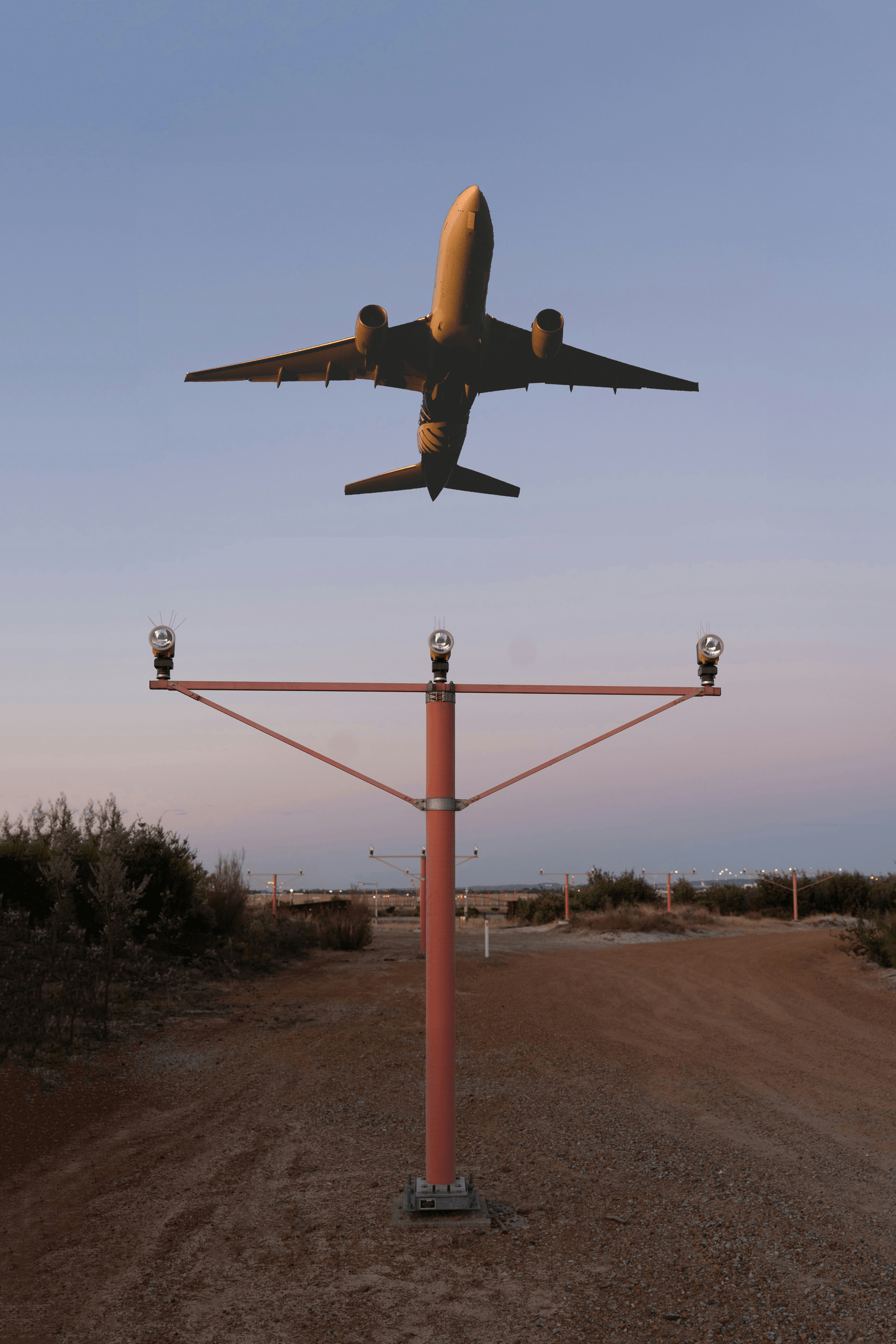
Runway Visual Range (RVR) plays a pivotal role in the smooth operation of airports, influencing everything from takeoff schedules to landing procedures. Understanding how RVR impacts flight delays is crucial for airport management and aviation professionals alike. With accurate RVR readings, airports can optimize their operations, ensuring safety while minimizing disruptions.
The Impact of RVR on Flight Delays
When discussing what is RVR in aviation, it’s essential to recognize its direct correlation with flight delays. Low RVR conditions can lead to significant hold-ups as pilots await more favorable visibility for safe operations. Consequently, airlines may need to adjust their schedules, leading to a ripple effect that affects passengers and airport logistics.
Moreover, when Runway Visual Range drops below certain thresholds, air traffic control may have no choice but to implement holding patterns or even divert flights altogether. This not only frustrates travelers but also increases operational costs for airlines due to fuel consumption and potential crew schedule changes. Thus, understanding how Runway Visual Range (RVR) works is vital for mitigating these delays through proactive planning and communication.
Regulatory Standards for RVR in Aviation
Regulatory bodies like the International Civil Aviation Organization (ICAO) have established stringent standards regarding Runway Visual Range measurements. These guidelines ensure that airports maintain consistent safety protocols during adverse weather conditions that affect visibility. Compliance with these regulations helps create a standardized approach across different regions and airports globally.
In addition to ICAO standards, individual countries may have specific regulations governing what constitutes acceptable RVR levels for various types of operations—whether it's commercial flights or general aviation activities. By adhering to these regulatory standards, airports can provide a safer environment while gaining the trust of both airlines and passengers alike regarding their commitment to safety.
Future Trends in RVR Measurement Technology
The future of Runway Visual Range measurement technology looks promising as advancements continue to emerge in this critical area of aviation safety. Innovations such as Haisen's BHP01 Transmission RVR Measurement Equipment are leading the charge by utilizing laser technology for enhanced accuracy in measuring visual range under diverse atmospheric conditions. This system not only measures transmission attenuation but also integrates real-time data from runway lighting systems.
As technology evolves further, we can expect even more sophisticated methods for determining what is RVR in aviation contexts—potentially incorporating artificial intelligence algorithms that analyze historical data alongside real-time weather conditions. Such advancements could revolutionize how airports manage their operations during low visibility scenarios while maintaining high safety standards.
Conclusion

In wrapping up our exploration of Runway Visual Range (RVR), it's clear that this measurement plays a critical role in the aviation industry. RVR is not just a number; it represents the safety and efficiency of airport operations, influencing everything from takeoff to landing decisions. As we continue to enhance our understanding of what RVR is in aviation, we can appreciate its importance even more.
The Critical Role of RVR in Aviation
RVR serves as an essential tool for pilots and air traffic controllers, providing vital information about runway visibility conditions. Accurate readings of Runway Visual Range allow for informed decision-making regarding flight operations during adverse weather conditions. Without reliable RVR data, the risk of accidents increases significantly, highlighting its critical role in maintaining safety in aviation.
Understanding RVR's Influence on Safety
The influence of RVR on safety cannot be overstated; it directly impacts how pilots approach landings and takeoffs under low visibility conditions. Understanding how Runway Visual Range works helps mitigate risks associated with poor weather by ensuring pilots have the necessary information to make safe decisions. By continuously monitoring RVR, airports can enhance their operational protocols and maintain high safety standards.
Staying Informed About RVR Advancements
As technology evolves, so too does the measurement and interpretation of RVR in aviation. Staying informed about advancements like Haisen's BHP01 Transmission RVR Measurement Equipment allows stakeholders to utilize cutting-edge tools that improve accuracy and reliability. The future promises even greater innovations that will refine our understanding of what is RVR in aviation, ensuring safer skies for everyone involved.
