Introduction

When it comes to aviation, understanding Runway Visual Range (RVR) is crucial for safe and efficient flight operations. RVR plays a vital role in determining visibility conditions at airports, impacting takeoff and landing decisions. However, there are common misconceptions about RVR that need to be clarified to ensure accurate interpretation and application in aviation.
Understanding RVR in Aviation
RVR refers to the distance over which a pilot can see the runway surface markings or lights. It provides critical information about the visibility conditions at an airport, specifically along the approach and departure paths of aircraft.
Importance of RVR in Aviation
The importance of RVR in aviation cannot be overstated, as it dircannot be overstated, as it directly influences flight operations and safety. Pilots rely on accurate RVR measurements to make informed decisions regarding takeoff, landing, and taxiing on runways.
Furthermore, RVR is crucial for determining the type of approach and landing procedures that pilots should follow based on visibility conditions. In low visibility situations, accurate RVR measurements help pilots decide whether to use instrument landing systems or perform a visual approach. This information is essential for ensuring safe and efficient landings, especially in adverse weather conditions such as fog or heavy rain.
Common Misconceptions about RVR
One common misconception is that RVR is synonymous with visibility. In reality, while visibility refers to what can be seen by an observer from a specific location, RVR specifically pertains to runway visual conditions as perceived by pilots during takeoff or landing.
Another common misconception about RVR is that it only applies to foggy or adverse weather conditions. While RVR is crucial in low-visibility situations, it also encompasses a range of visual conditions such as rain, snow, or even glare from bright sunlight. This means that pilots must be aware of RVR regardless of the weather forecast, as runway visual conditions can change rapidly.
What is RVR in Aviation?

RVR, or Runway Visual Range, in aviation refers to the distance over which a pilot of an aircraft on the centerline of a runway can see the runway surface markings or the lights delineating the runway or identifying its centerline. It is an essential parameter for safe takeoff and landing operations.
Definition of RVR
RVR is defined as the distance over which a pilot can see the runway surface markings or lights from a moving aircraft on the centerline of a runway. It is measured in feet and provides crucial information for pilots during takeoff and landing.
RVR is an essential tool for pilots as it provides specific and accurate information about the visibility conditions at the airport. Unlike general visibility reports, which can vary widely across different parts of the airport, RVR focuses specifically on the runway environment. This allows pilots to make informed decisions about takeoff and landing procedures based on the actual conditions they will encounter on the runway.
RVR vs. Visibility
While visibility refers to general atmospheric conditions affecting how far ahead objects can be seen, RVR specifically measures the visibility along a runway, providing critical information for pilots during takeoff and landing operations.
In order to measure RVR, transmissometers or forward scatter meters are used to calculate the distance at which a pilot can see a high-intensity light along the runway. These devices emit light beams and measure the amount of light that is scattered or absorbed by particles in the air. This provides an accurate measurement of visibility specifically for the runway, allowing pilots to make informed decisions during critical phases of flight.
How RVR is Measured
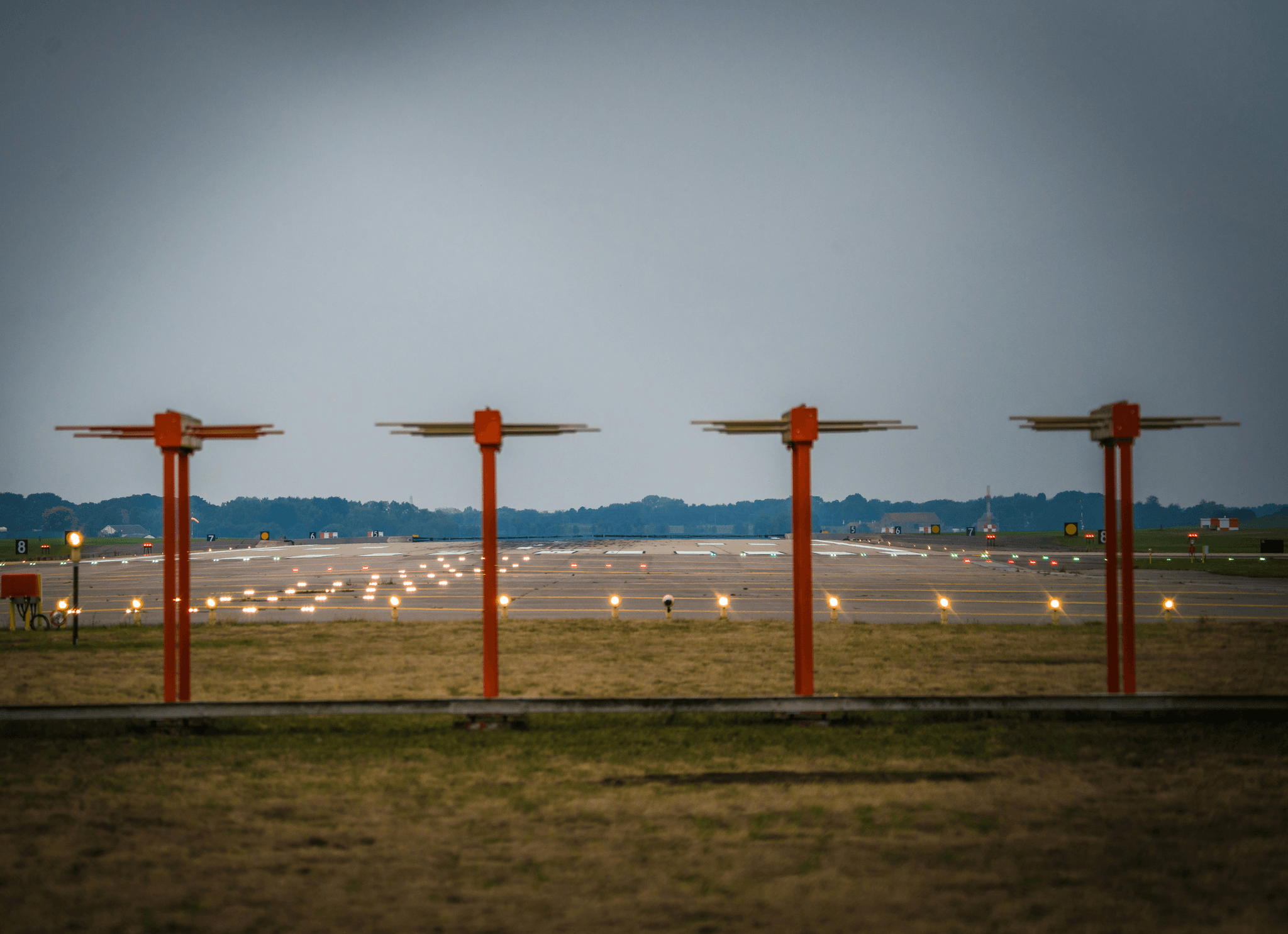
RVR is typically measured using transmissometers or forward scatter meters that emit light beams across the runway to measure how far it travels before being obscured by fog, rain, snow, or other atmospheric conditions.
RVR measurements are crucial for pilots to determine whether visibility conditions are suitable for takeoff, landing, or taxiing. These measurements are especially important during low-visibility conditions such as fog, heavy rain, or snow. By using transmissometers or forward scatter meters, airports can provide accurate RVR data to air traffic controllers and pilots, ensuring safe and efficient operations.
Decoding RVR: Examples in Aviation

Real-world Examples of RVR in Aviation
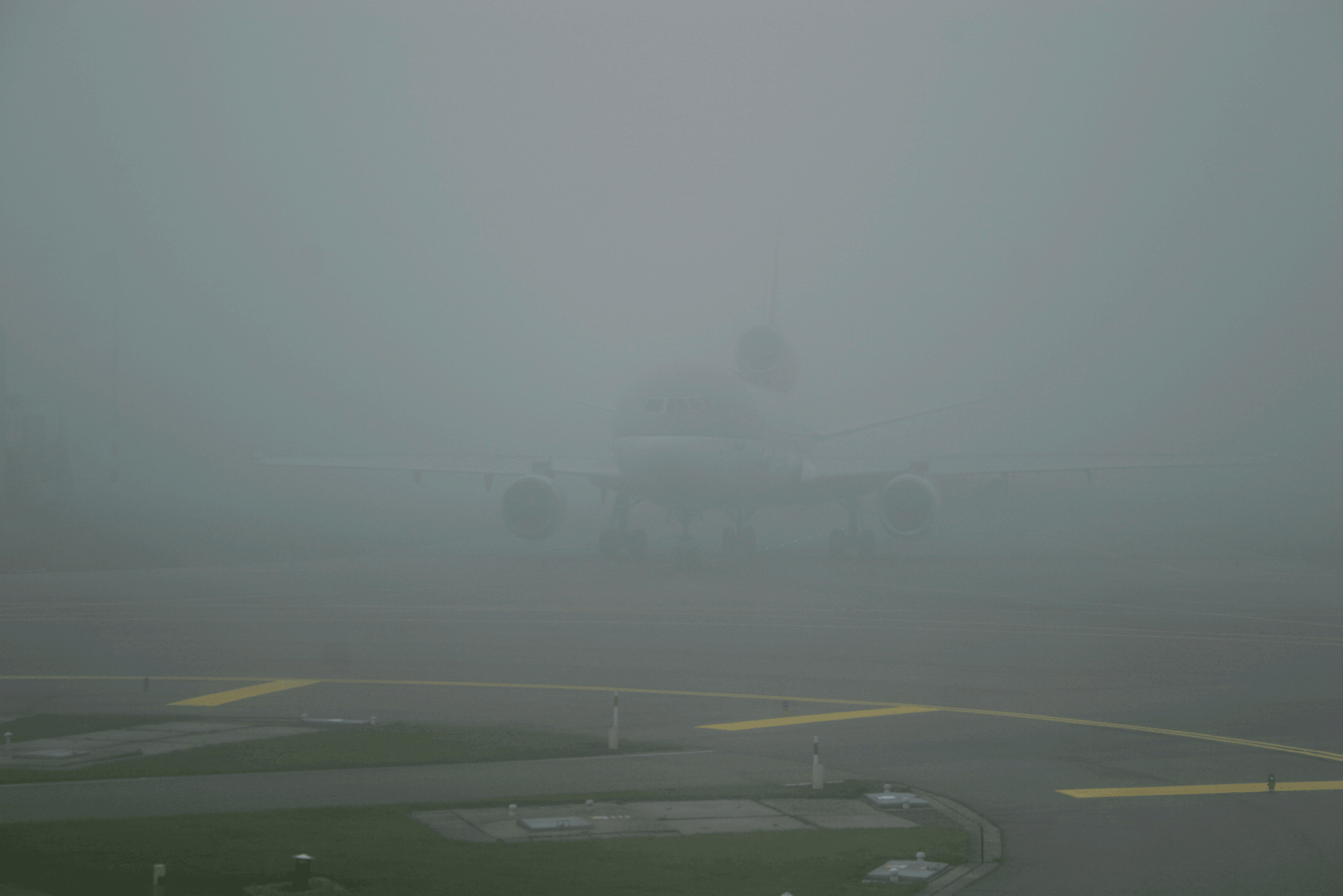
In aviation, RVR plays a crucial role in determining safe takeoff and landing conditions. For example, if the RVR is below a certain threshold, pilots may need to rely solely on instruments for landing. This can be seen at airports during foggy or rainy conditions when RVR measurements are used to assess visibility.
In addition to affecting takeoff and landing conditions, RVR also impacts flight delays and cancellations. When RVR measurements indicate poor visibility, flights may be delayed or canceled to ensure the safety of passengers and crew. This can lead to logistical challenges for airlines and inconvenience for travelers, highlighting the significant influence of RVR on overall flight operations.
Impact of RVR on Flight Operations
The impact of RVR on flight operations is significant, as it directly affects the ability of pilots to safely navigate during takeoff and landing. Low RVR readings can lead to delays or even cancellations of flights due to reduced visibility. This demonstrates the importance of accurate and reliable RVR measurements for maintaining efficient flight schedules.
RVR in METAR Reports
RVR is an essential component of METAR (Meteorological Aerodrome Report) reports, providing vital information about runway visibility conditions at airports. Pilots rely on these reports to make informed decisions about approach and landing procedures based on current weather conditions. Understanding RVR data in METAR reports is crucial for ensuring safe flight operations.
RVR, or Runway Visual Range, is measured using specialized equipment located at various points along the runway. This data is then reported in METAR reports to provide pilots with real-time visibility information. By understanding RVR data, pilots can determine if it is safe to land or take off from a particular airport, helping to prevent accidents and ensure passenger safety.
How to Calculate RVR in Aviation

RVR, or Runway Visual Range, is a crucial measurement in aviation that determines the distance over which a pilot can see and identify prominent visual references along the runway during landing or takeoff. It is essential for safe flight operations, especially in adverse weather conditions. The calculation of RVR takes into account several key factors that directly impact visibility on the runway.
Factors Affecting RVR Calculation
Factors such as precipitation, fog, mist, smoke, and other atmospheric conditions significantly affect RVR calculation. These elements can reduce visibility and impact a pilot's ability to safely navigate the runway during critical phases of flight. Additionally, ambient lighting conditions and the presence of runway lights play a vital role in determining RVR values.
The presence of precipitation, such as rain or snow, can significantly reduce RVR values by obstructing the pilot's view of the runway. Fog and mist can create a thick blanket of moisture that limits visibility and makes it difficult for pilots to accurately judge their position in relation to the runway. Similarly, smoke from nearby fires or industrial processes can further obscure visibility, making it crucial for RVR measurement equipment to account for these atmospheric conditions.
Role of RVR Measurement Equipment
Accurate measurement of RVR is facilitated by specialized equipment designed to assess visibility range on airport runways. This equipment utilizes advanced technology to gauge atmospheric conditions and provide real-time data on visual range for pilots. It ensures that flight crews have access to precise information regarding runway visibility, enabling them to make informed decisions during landings and takeoffs.
Haisen's RVR Measurement Equipment
Haisen's BHP01 Transmission RVR Measurement Equipment is at the forefront of technological innovation in this field. This cutting-edge system leverages laser transmission with optimal wavelength sensitivity to measure atmospheric transmission attenuation accurately. By integrating ICAO standard algorithms with airport lighting intensity and background brightness data, it calculates the maximum distance at which pavement signs and runway lights are visible from an aircraft cockpit on the runway.
Furthermore, the BHP01 system incorporates advanced data processing capabilities that allow for real-time monitoring and analysis of RVR measurements. This enables airport authorities and air traffic controllers to make informed decisions regarding runway usage and aircraft operations during adverse weather conditions. Additionally, the equipment's user-friendly interface and intuitive software design make it easy for personnel to interpret and act upon the data provided, enhancing overall operational efficiency.
By understanding these crucial aspects of how to calculate RVR in aviation, stakeholders can appreciate the significance of this metric in ensuring safe flight operations under varying weather conditions.
The Significance of RVR in Aviation

Safety Implications of RVR
RVR plays a critical role in ensuring the safety of aviation operations. It provides pilots with crucial information about the visibility conditions on the runway, allowing them to make informed decisions during takeoff, landing, and taxiing. In low visibility scenarios, accurate RVR measurements are essential for preventing accidents and ensuring the safe operation of flights.
Furthermore, RVR data is also crucial for air traffic control personnel, allowing them to manage the flow of aircraft and ensure safe separation distances during low visibility conditions. Without accurate RVR measurements, controllers may struggle to effectively coordinate arrivals and departures, increasing the risk of mid-air collisions or runway incursions. Therefore, compliance with regulatory requirements for RVR monitoring and reporting is essential to maintain a safe operating environment for all aviation stakeholders.
Regulatory Requirements for RVR
Regulatory bodies such as the International Civil Aviation Organization (ICAO) and the Federal Aviation Administration (FAA) have established specific requirements for RVR measurements at airports. These regulations ensure that airports adhere to standardized practices for measuring and reporting RVR, contributing to a consistent approach to safety across the aviation industry. As technology continues to advance, there is a growing focus on improving RVR measurement accuracy and reliability. This includes the development of automated RVR systems that provide real-time data, allowing for more precise monitoring of runway visibility conditions.
Advancements in RVR Technology
Advancements in technology have led to significant improvements in RVR measurement equipment and systems. Innovations such as Haisen's BHP01 Transmission RVR Measurement Equipment have enhanced the accuracy and reliability of RVR measurements, providing pilots with more precise information about runway visibility. These advancements contribute to overall safety and efficiency in aviation operations.
Furthermore, advancements in RVR technology have also led to the development of automated RVR measurement systems, which reduce the need for manual intervention and potential human error. These automated systems can continuously monitor and report runway visibility, providing real-time data to air traffic controllers and pilots. This not only improves safety but also allows for more efficient decision-making during adverse weather conditions.
Conclusion

RVR plays a crucial role in enhancing aviation safety by providing accurate visibility information to pilots, air traffic controllers, and airport personnel. Understanding RVR in aviation is essential for ensuring safe flight operations, especially during adverse weather conditions. With advancements in technology, the future of RVR in aviation looks promising, with improved measurement equipment and enhanced regulatory requirements. Resources for understanding RVR in aviation are readily available, offering valuable insights into its significance and practical applications.
Enhancing Aviation Safety with RVR
Enhancing aviation safety with RVR involves leveraging accurate visibility data to minimize the risks associated with low-visibility conditions. By providing precise information on runway visual range, RVR helps pilots make informed decisions during takeoff, landing, and taxiing. This contributes to reducing the likelihood of weather-related incidents and accidents, ultimately improving overall flight safety.
Future of RVR in Aviation
The future of RVR in aviation is marked by continuous technological advancements aimed at enhancing measurement accuracy and reliability. As the industry evolves, there is a growing emphasis on integrating advanced sensors and data processing capabilities to further improve visibility assessment. Additionally, regulatory standards are expected to evolve to address emerging challenges and ensure consistent application of RVR across different airports.
Resources for Understanding RVR
For those seeking to deepen their understanding of RVR in aviation, there are numerous resources available that offer comprehensive insights into its definitions, measurement techniques, real-world examples, and regulatory implications. These resources include industry publications, training materials for pilots and air traffic controllers, as well as educational content from reputable organizations specializing in aviation meteorology.
By exploring these resources and staying updated on the latest developments in RVR technology and applications, stakeholders can gain a deeper appreciation for the critical role that runway visual range plays in ensuring safe and efficient flight operations.
